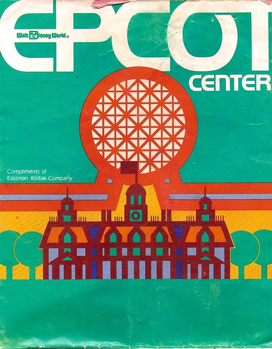
Unlike today's maps, this one was designed with an additional fold, presumably to fit more conveniently in a pocket.
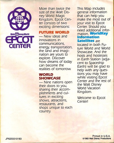
When fully folded, the reverse side gives us a quick overview:
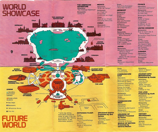
Unfolding the map reveals:
Comparing the map to a more contemporary version brings several differences into sharp relief.
For example -- the stylized line drawing style and reduced color palette are both typical features for maps from this epoch.
One also quickly observes the empty spaces destined to hold future pavilions in both World Showcase (Norway, Morocco) and Future World (The Living Seas). We also see evidence of lost wonders such as Horizons and the famous lost potties of Denmark and Morocco.
Scanning the map more carefully reveals more curiosities. For example, can you locate the WorldKey Information Satellites? And how about the short-lived Renaissance Food Festival?
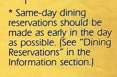
And how's this for quaint? Notice the friendly dining advice:
(For extra credit, check out which World Showcase eateries did not rate the asterisk).
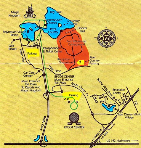
In the category of things not present, where is the International Gateway? Looking at the resort map on the back sheds light on this strange absence -- there's no point in having a gateway where there are no Epcot-area resorts to connect to!
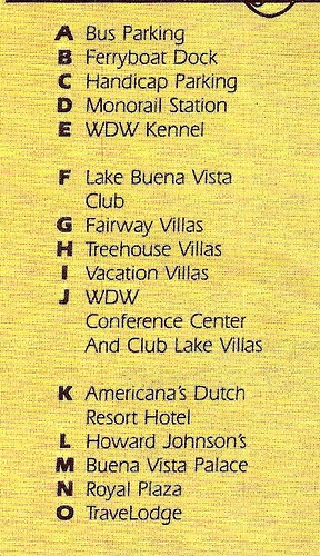
Here's the map legend for the section near the Walt Disney World Village:
The resort map also continues the use of simplified graphic designs:
To round out our tour, here are thumbnails for the remaining map images in the Veranda collection:
Feel free to linger and explore the map in greater detail. Leave a comment if you find anything noteworthy.
- The Management


No comments:
Post a Comment